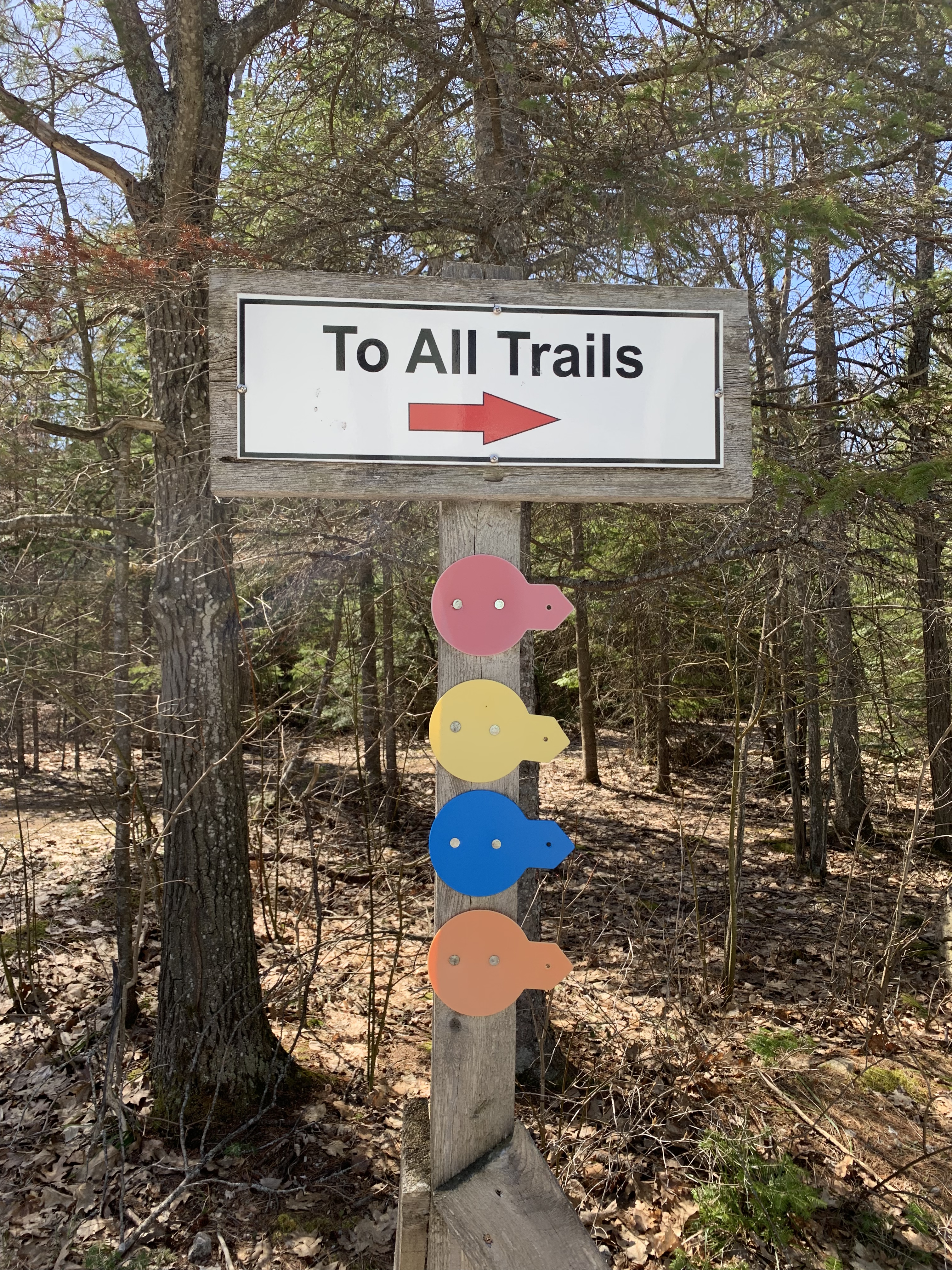
Past the visitor center is the sign to the trails and the Coastal Alvar Trail is the red circle. The Trail was well marked and I found something interesting at nearly every step. These large local boulders were right at the start. 
The steps must have been difficult to cut. 
Here’s the start. 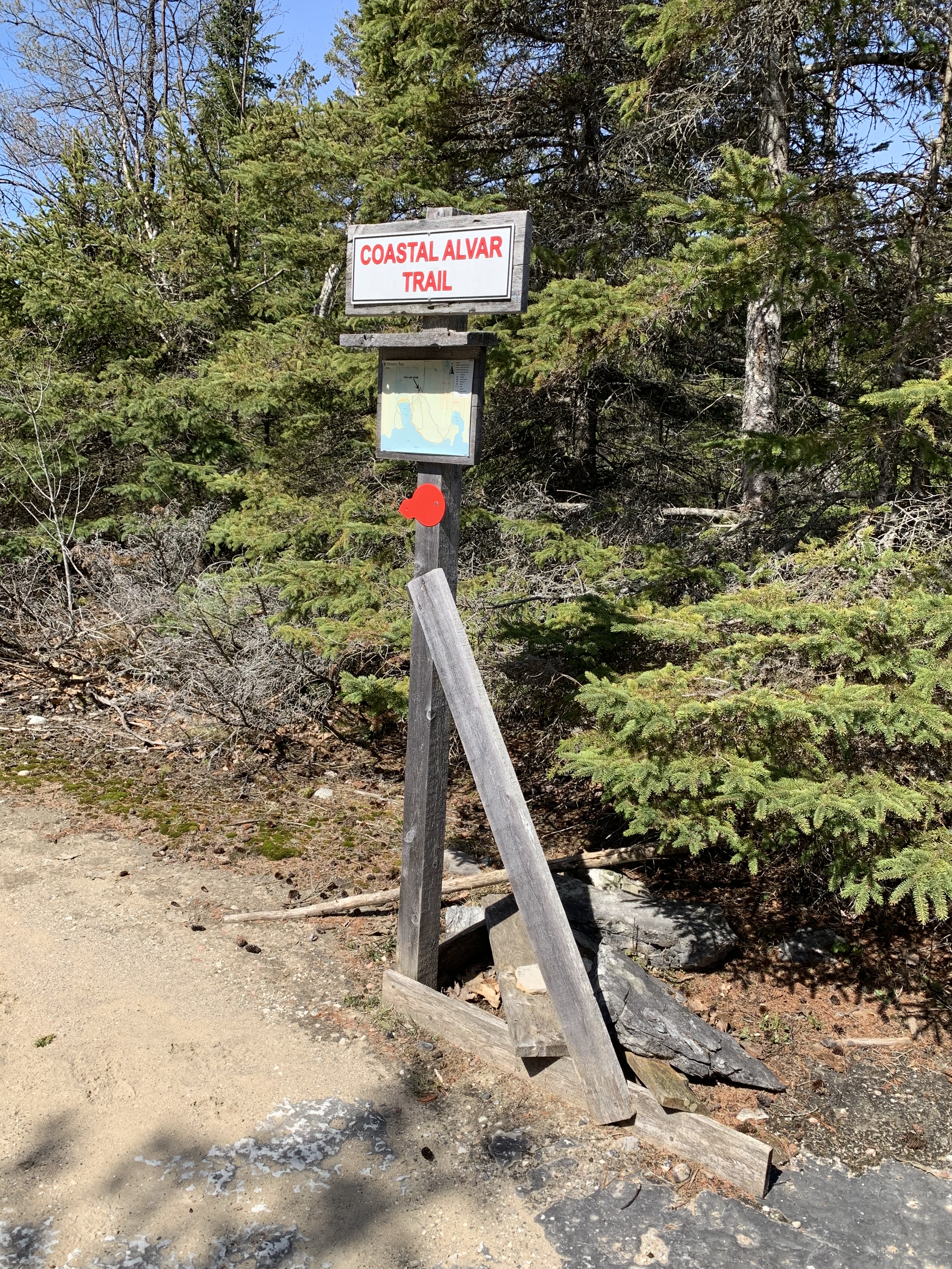

This is the underlying bedrock associated with alvar plant communities. Early in the year so I didn’t see rare alvar plants found here, Lakeside daisy and Pitcher’s thistle, not the rare Blanding’s turtle.

This shows the 1.3 kilometer-trail I hiked. 
There were a tall white birch amongst the conifers. 

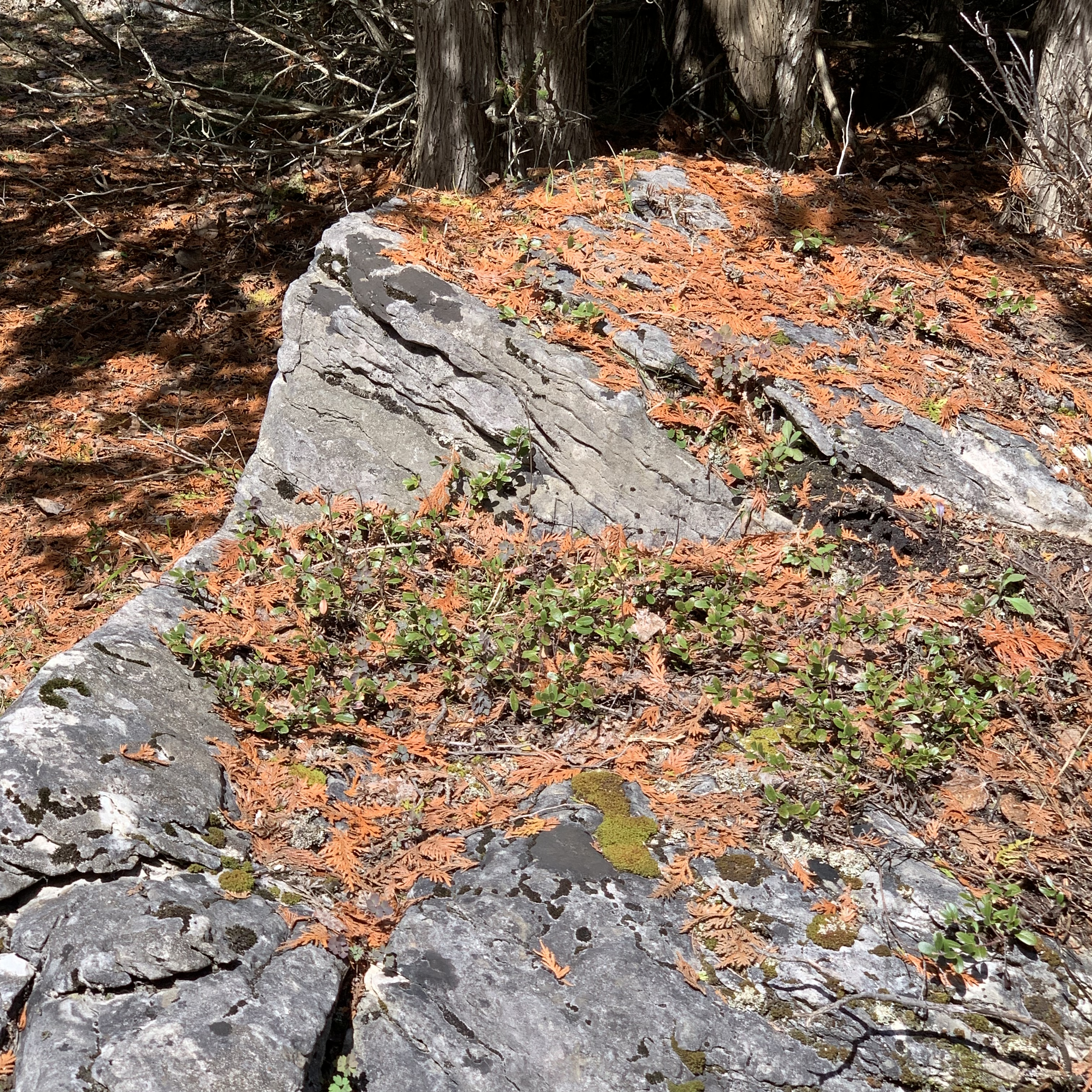
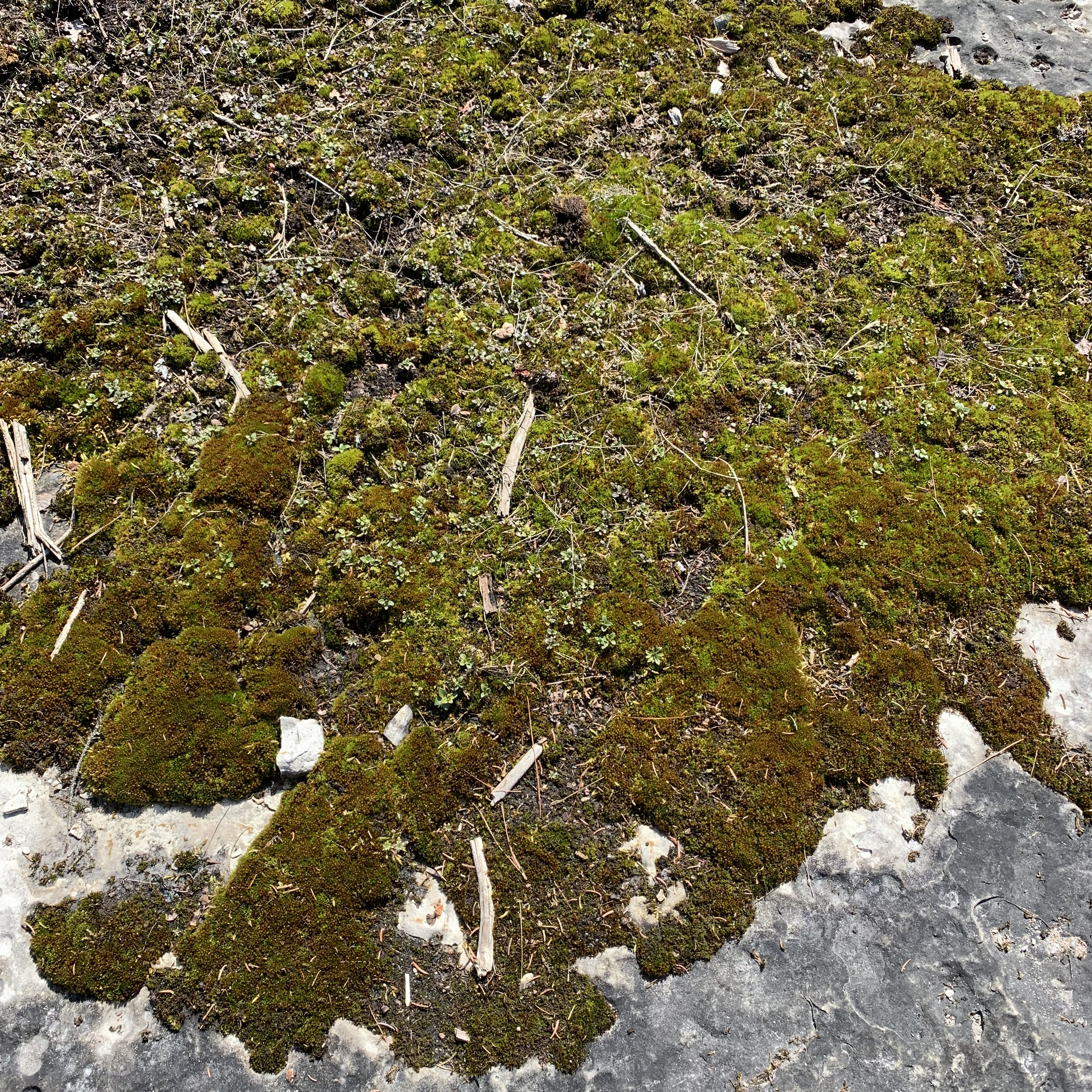
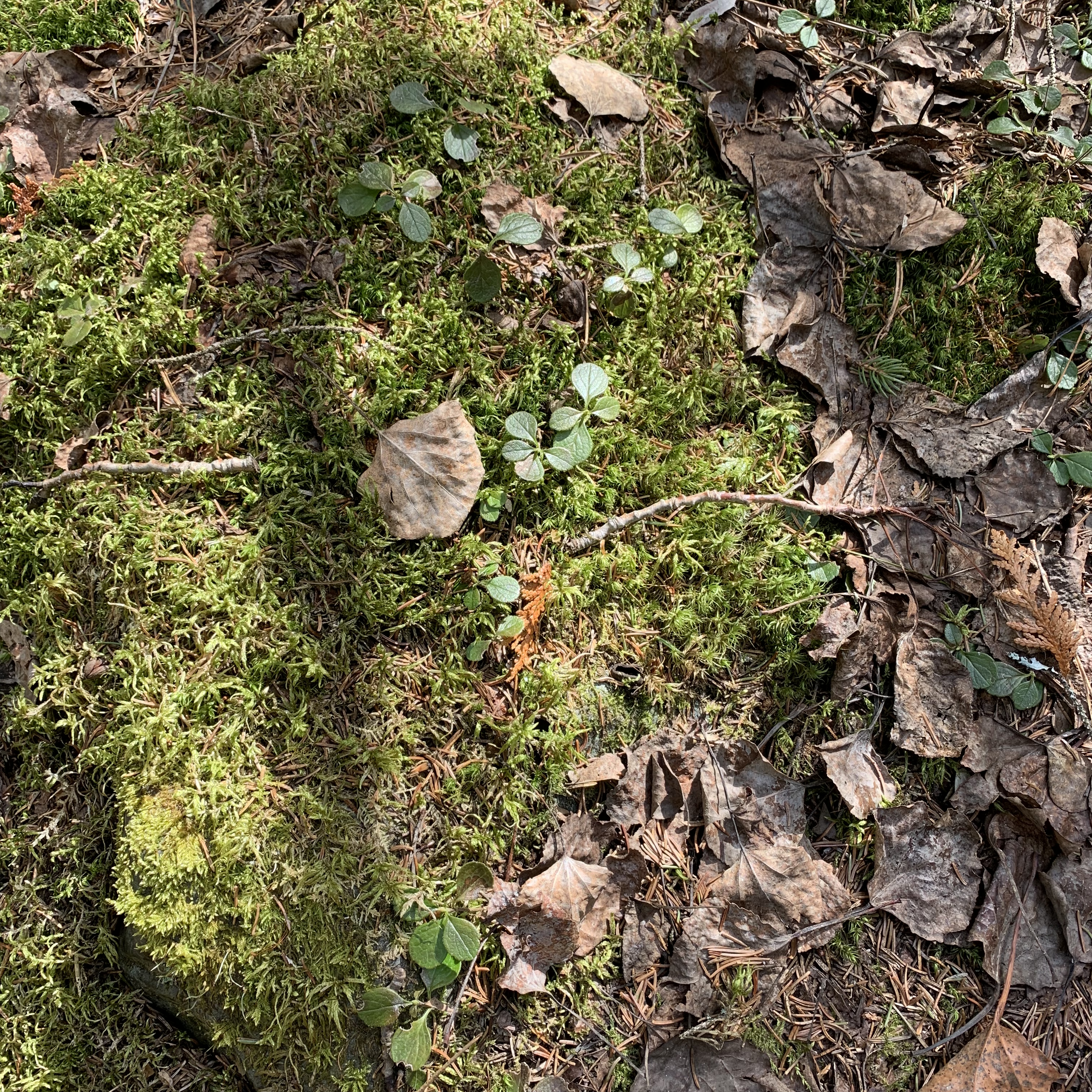
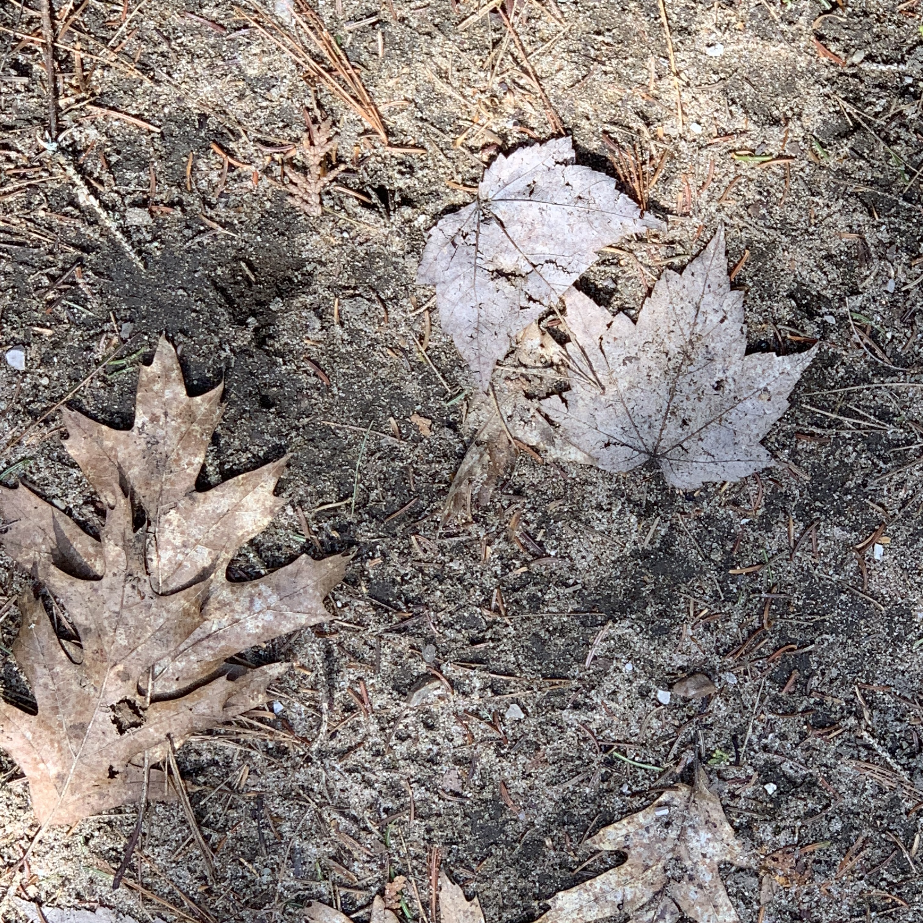
I stopped often to capture the beauty and variety of the forest floor. Early in the year meant no insects, nice bonus. 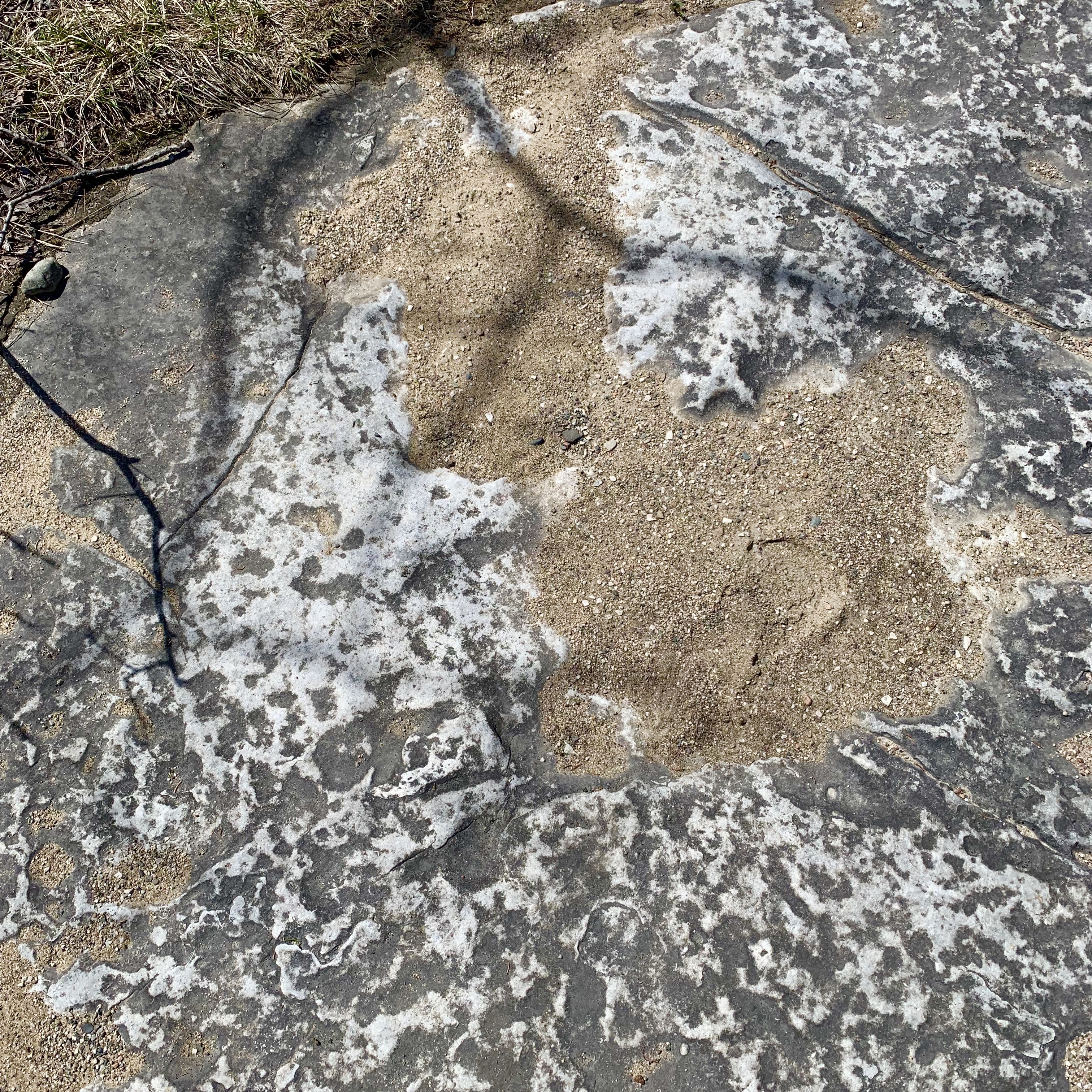
Tiny white flowers and a typical alvar structure. 

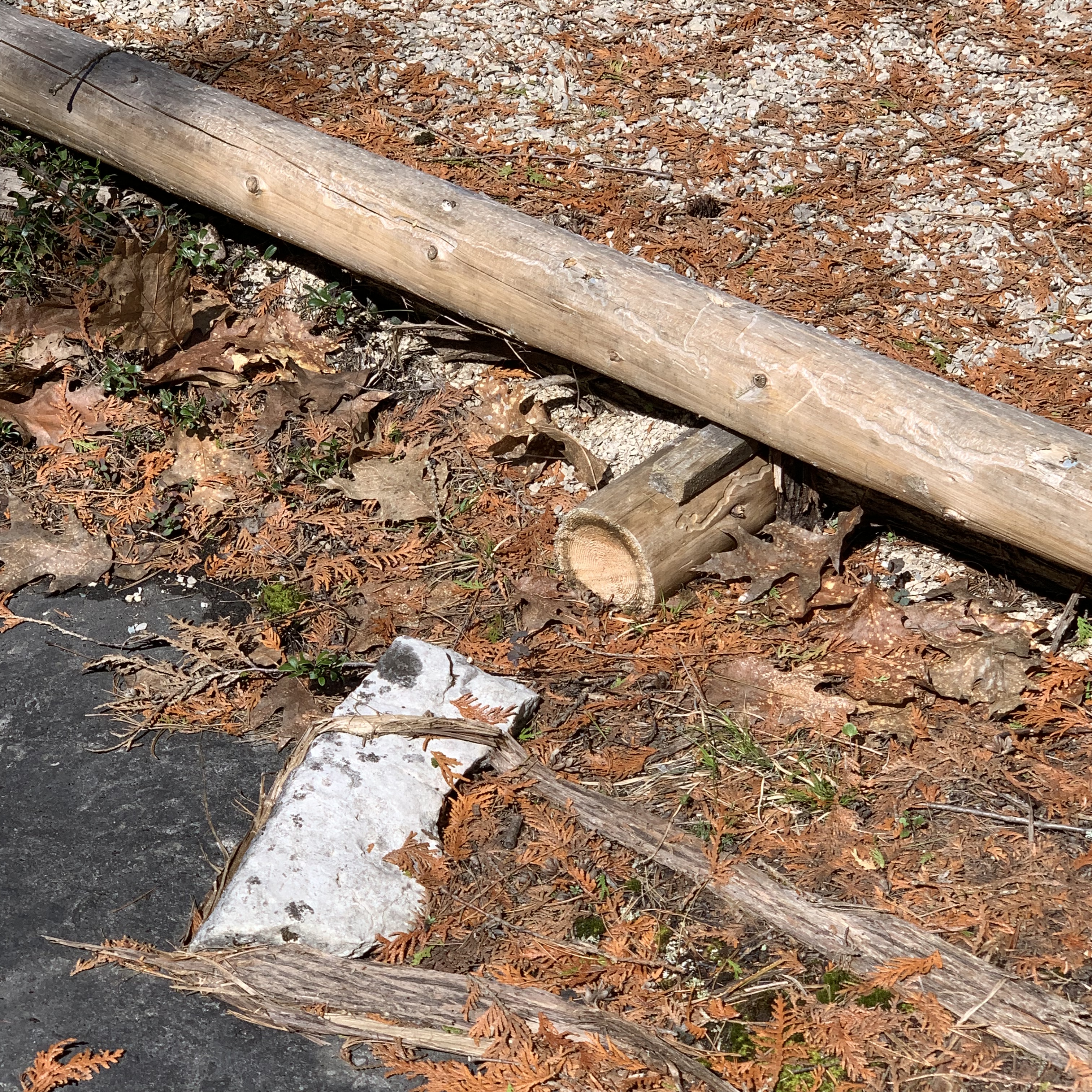
They are making this trail handicap accessible. 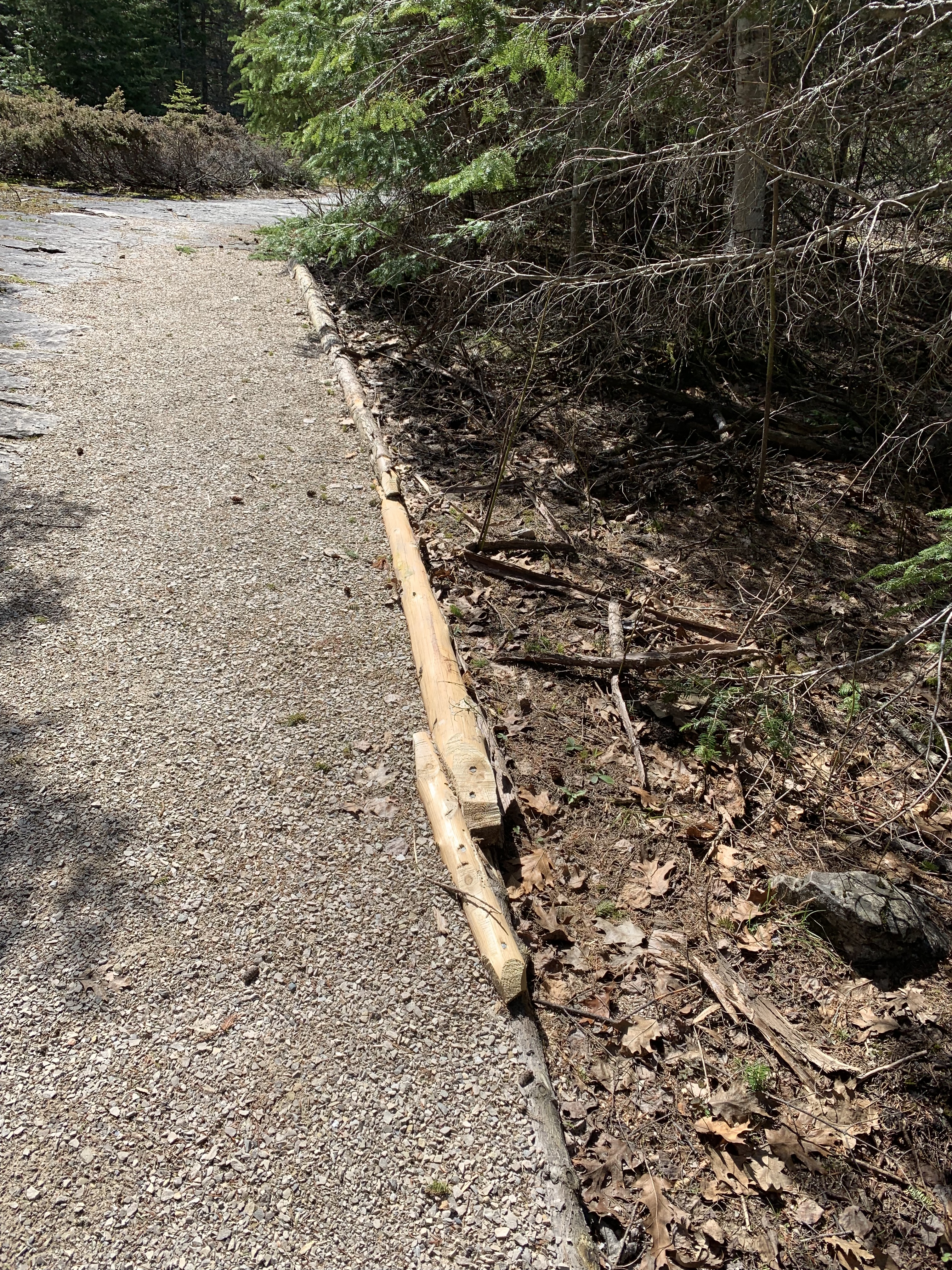

More forest floor. Endlessly fascinating on this walk. 
The trail markers were easy to follow and junctions were clear. 

I saw and heard only a few warblers and could not identify them. They were at top of trees flitting about and had stripes. I don’t think the song was captured and don’t know if you can see the warbler in this video. The bird was at the top left on the bare branches. I’m on my iPhone without Wi-Fi so difficult to tell.
More forest floor and then warning sign of leaning tree and the tree itself. 


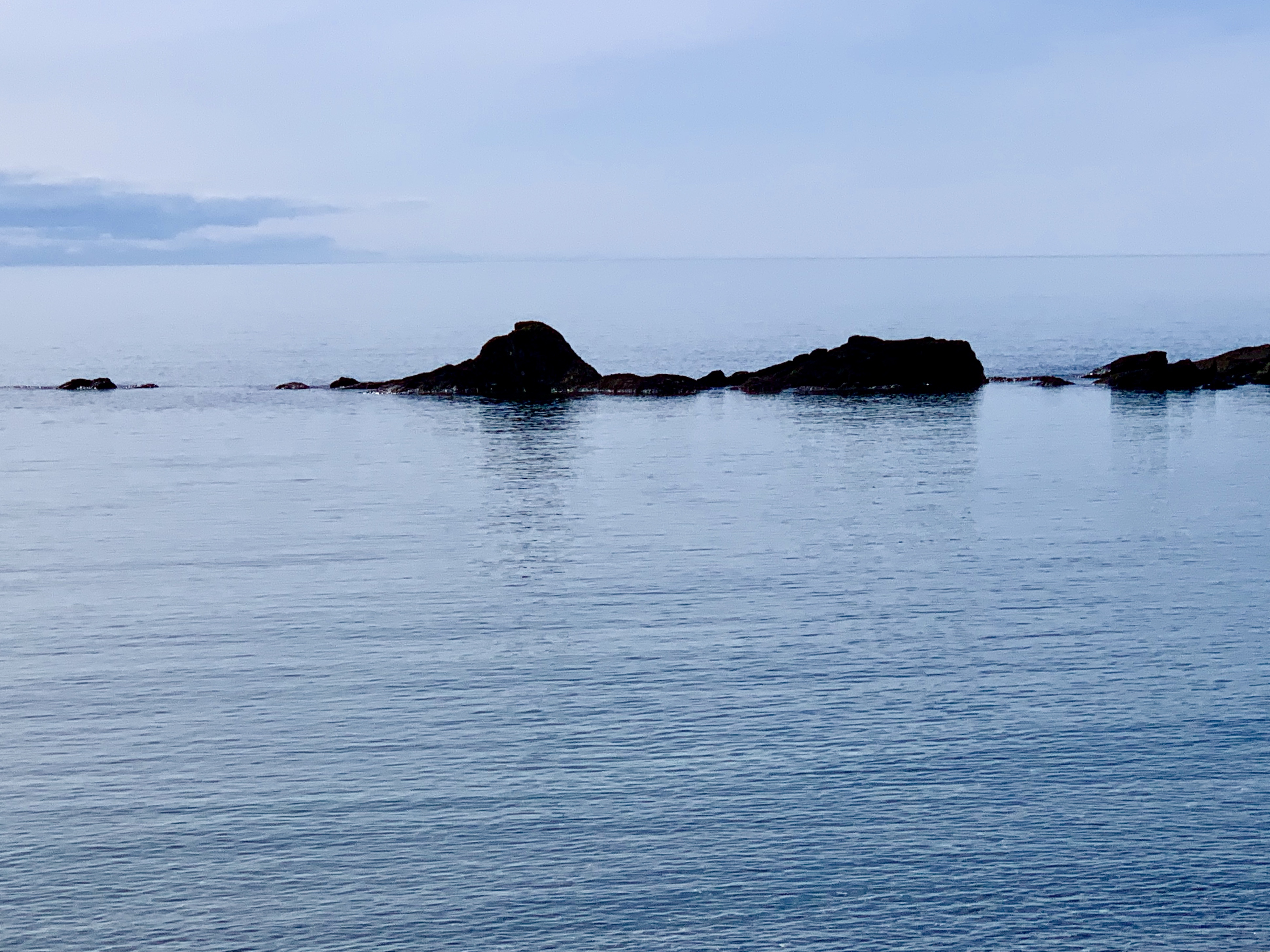
And then first glimpse of the water! Always fills me with such joy! 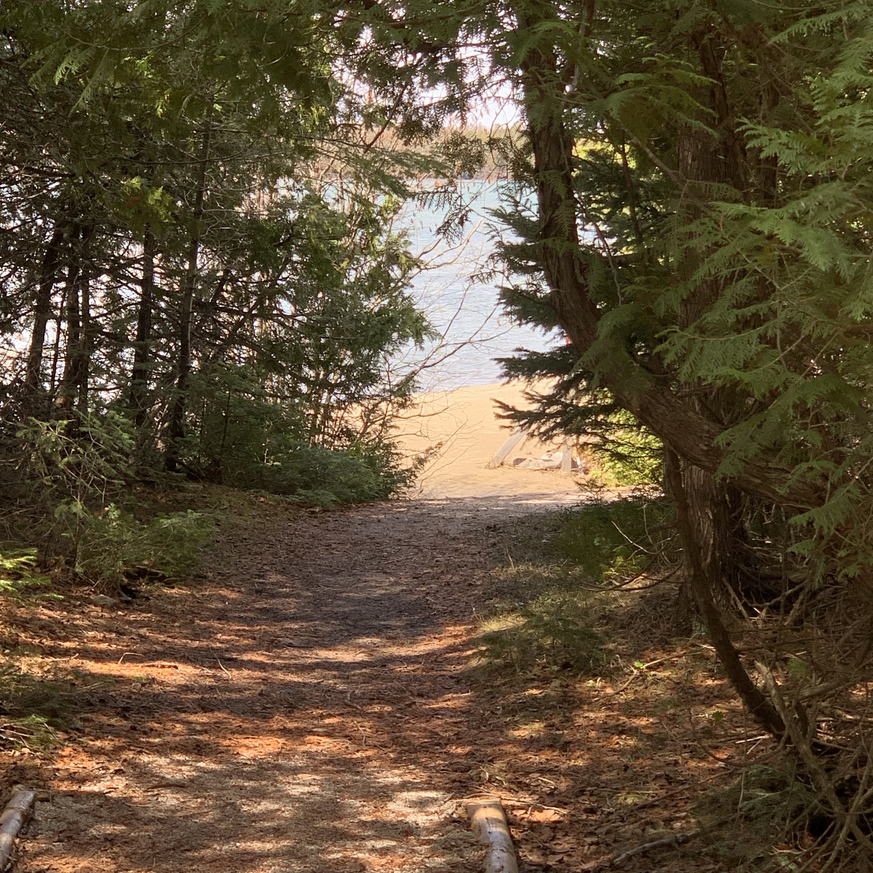
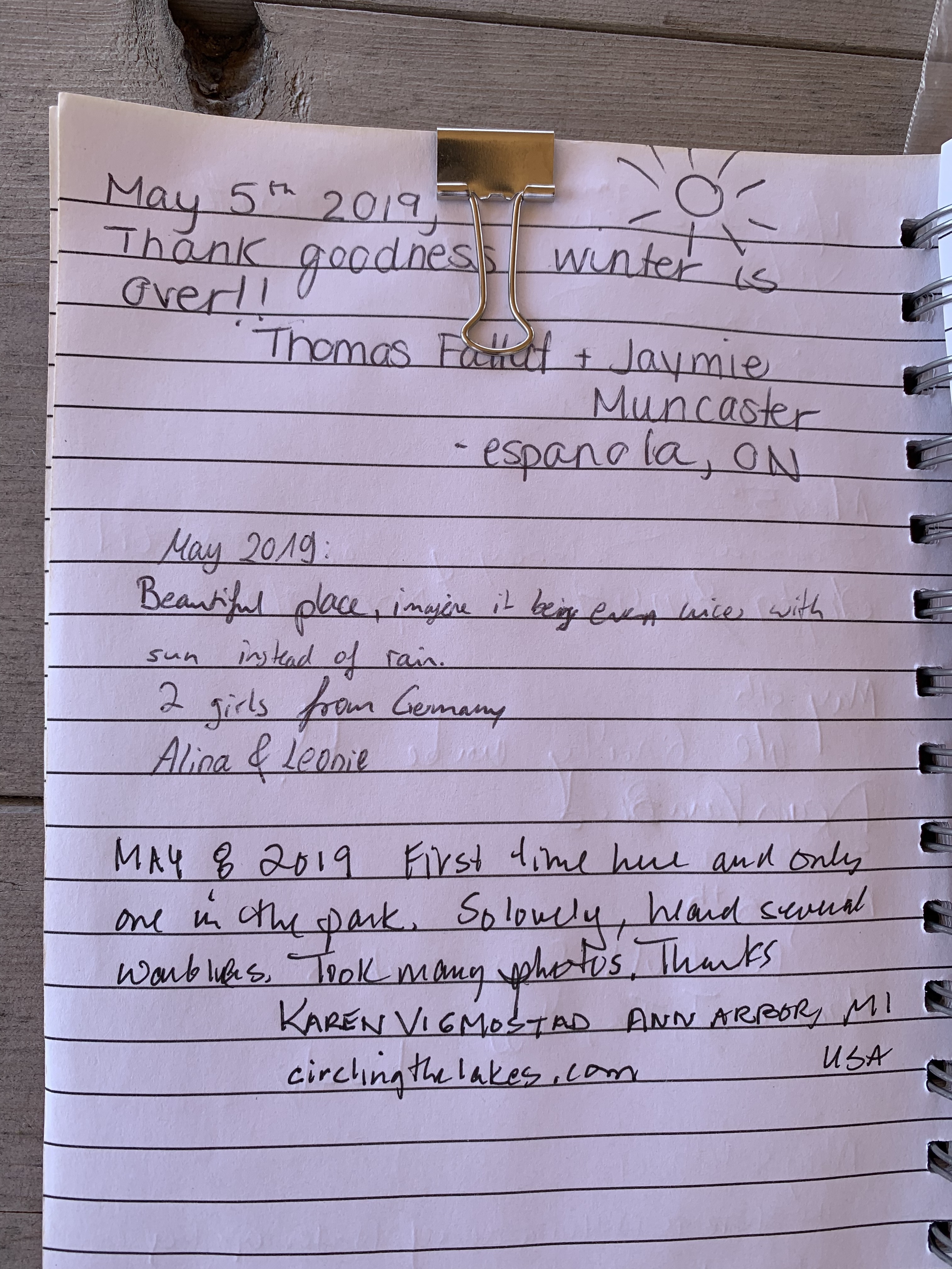
A lovely lookout and I signed the guest book. Wish I had added the weather information. 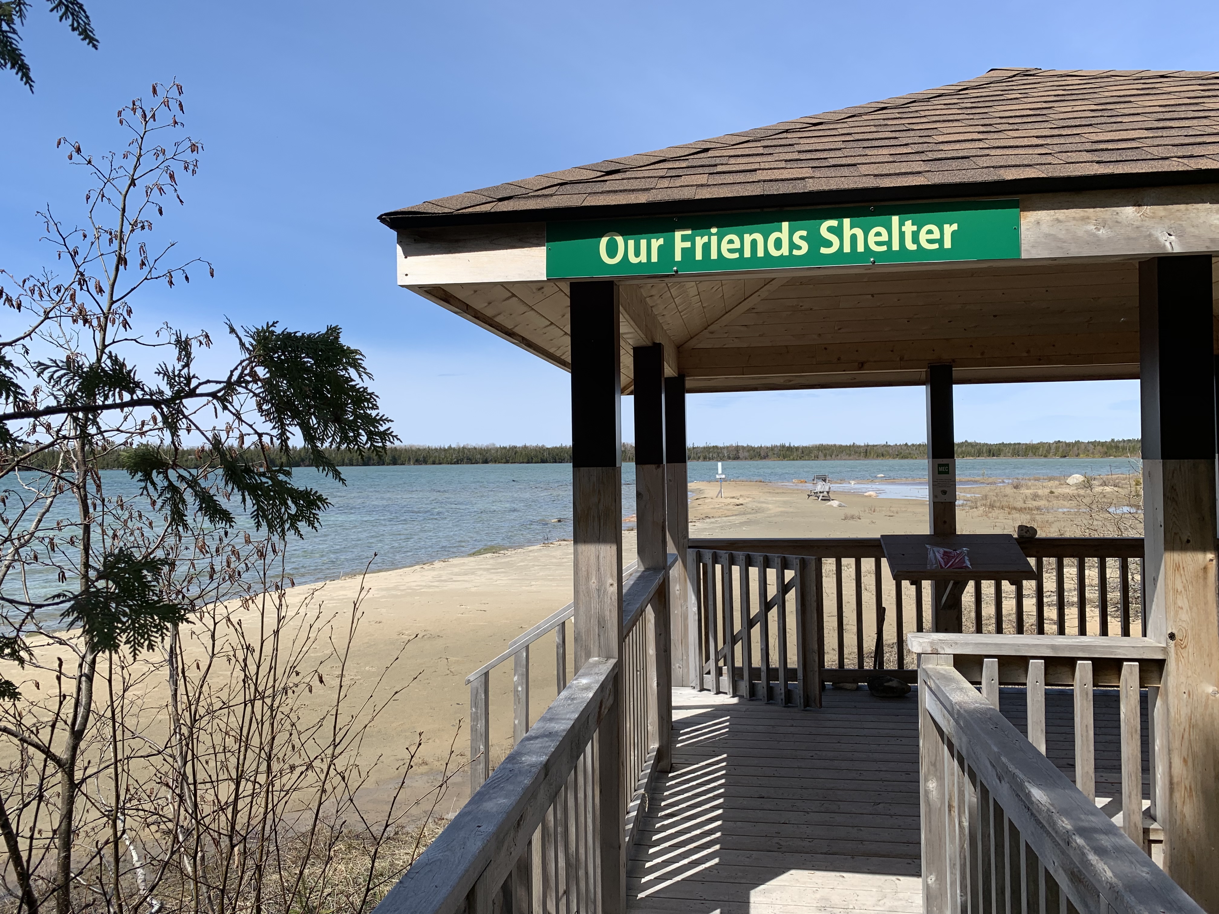
And here’s where I am on map and in reality. 
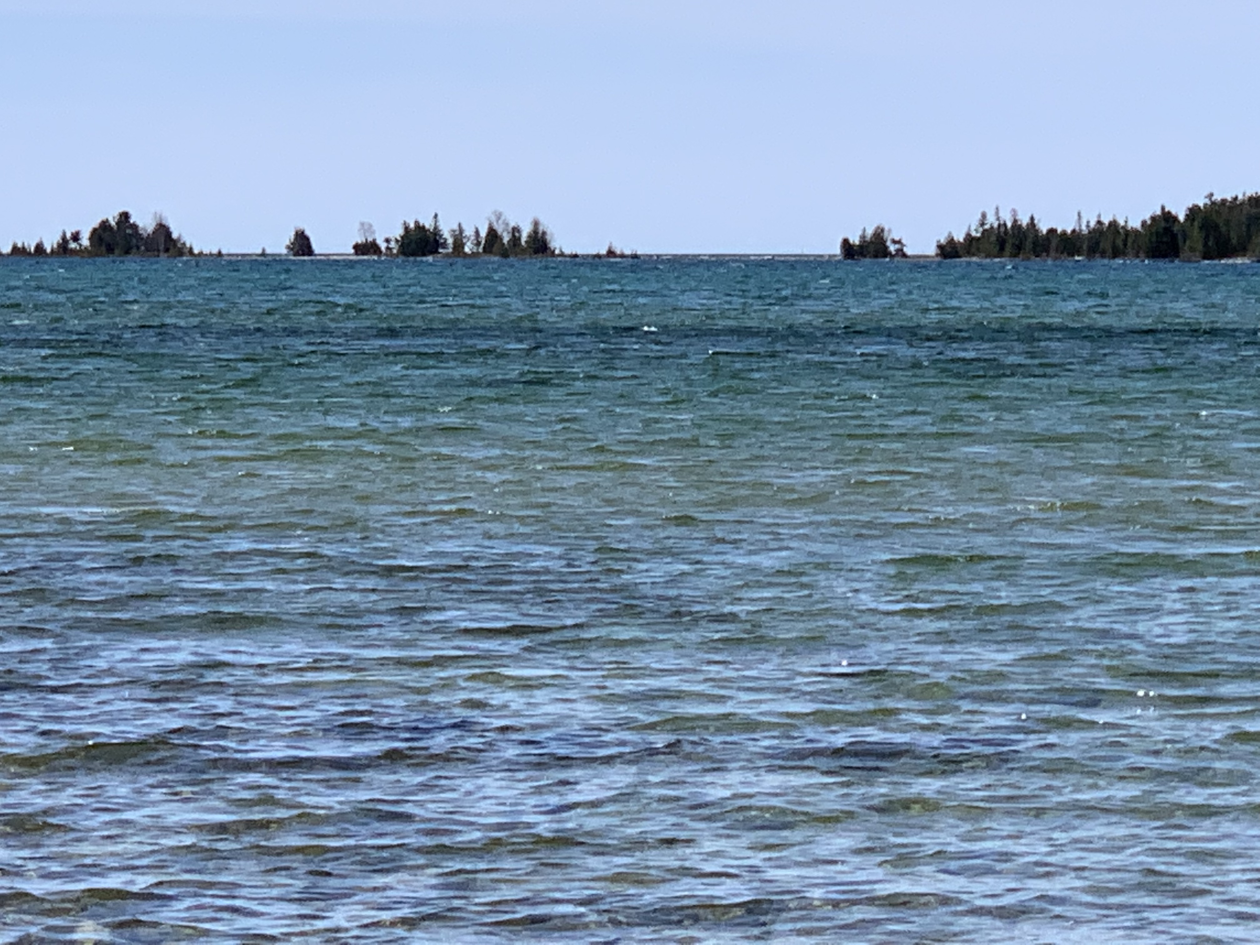
It was lovely. High water and recent heavy rains meant sections of beach were flooded and inaccessible, but lovely as can be. 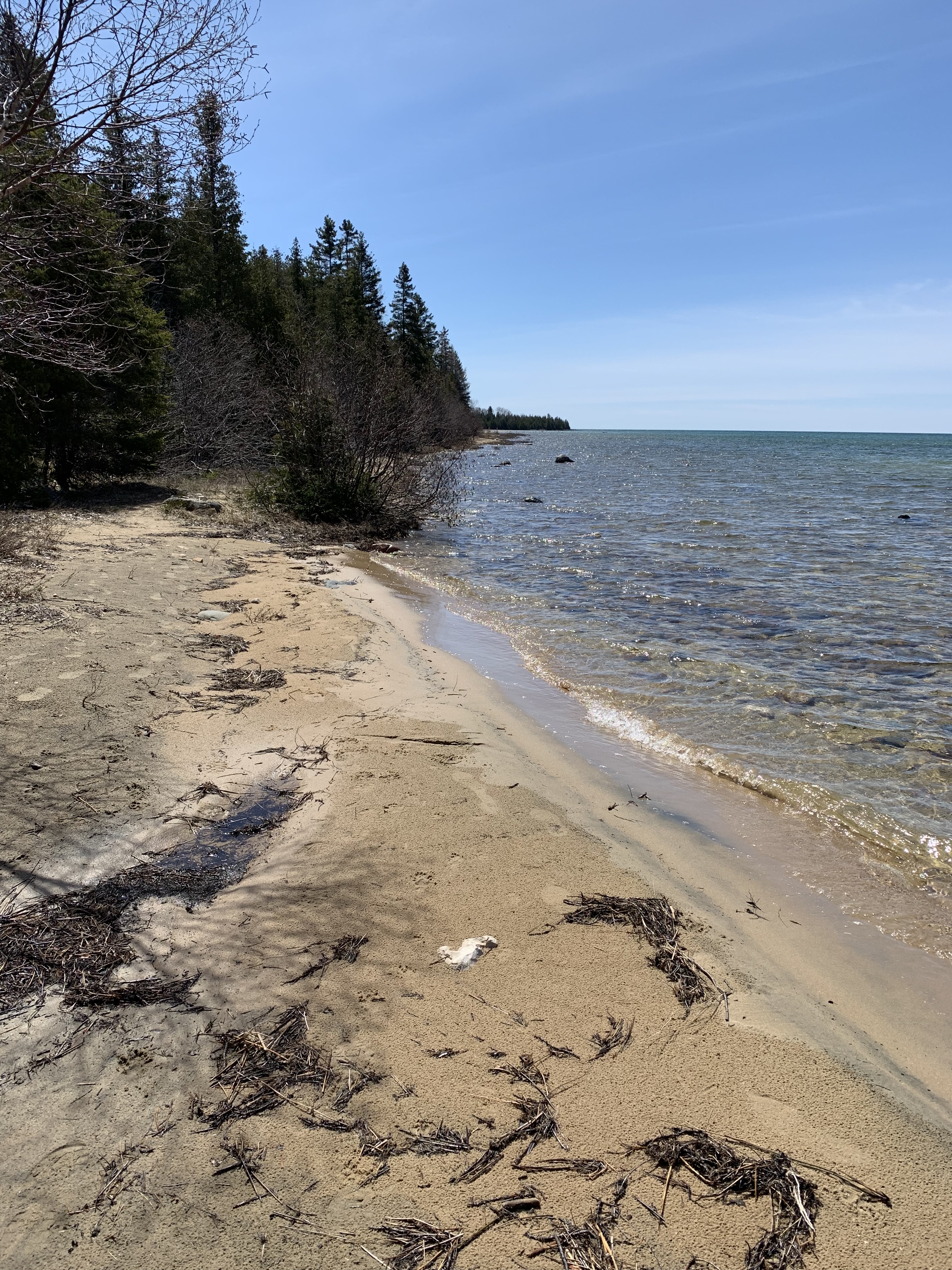


A memorial bench and confirmation of location.

Loved the pattern of branches on the sand. 
Headed back and a few more of the forest floor. It was about a half-hour walk each way.


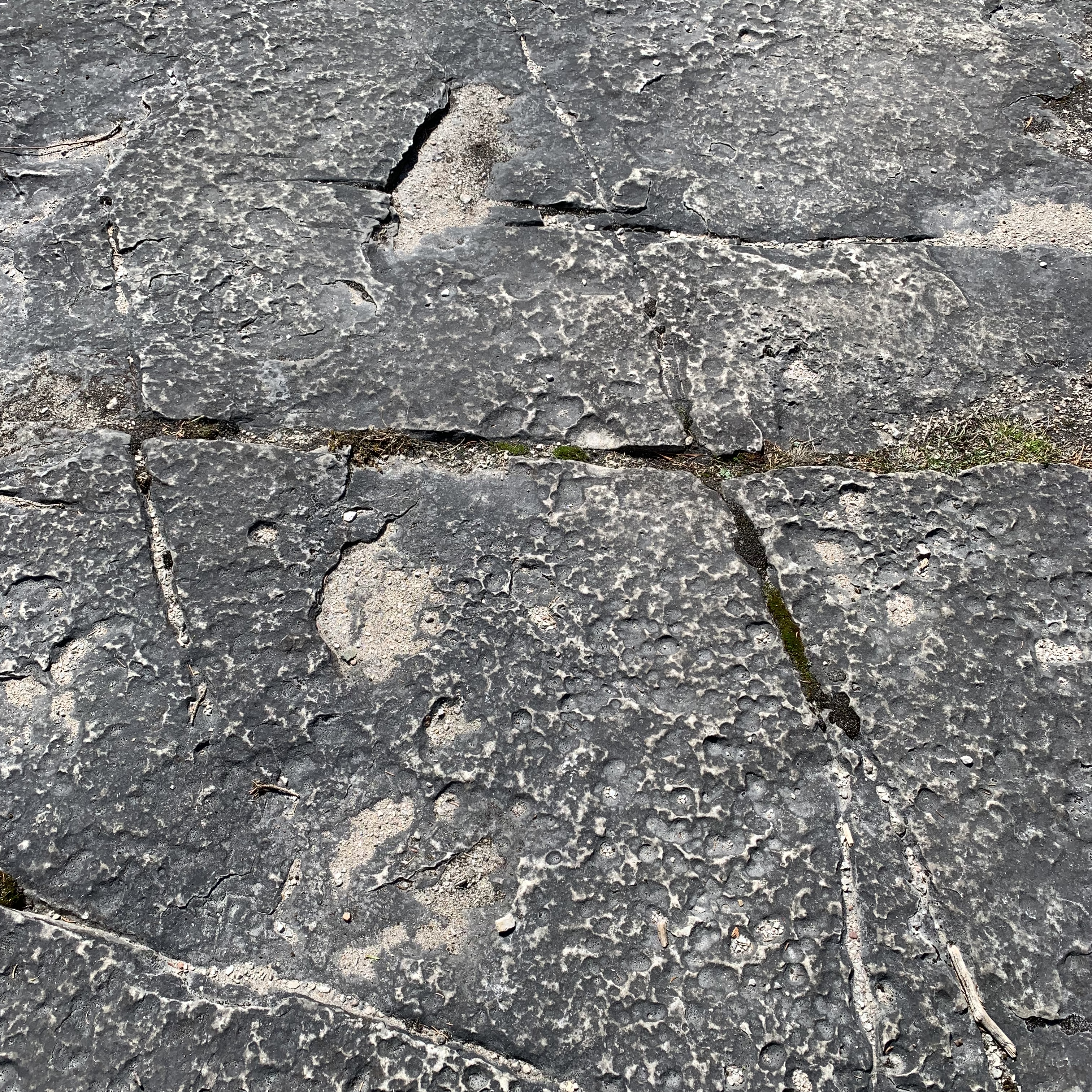
The last one is of the alvar bedrock. And here are some more. 


And chunks of a bright white rock I have to look up. If you know, do tell! 
Back to the beginning and there’s my solo car.
A memorable hike, so meaningful to walk on the alvar coast, one of the few on Earth, and on Manitoulin Island, the world’s largest freshwater island. Privileged. 

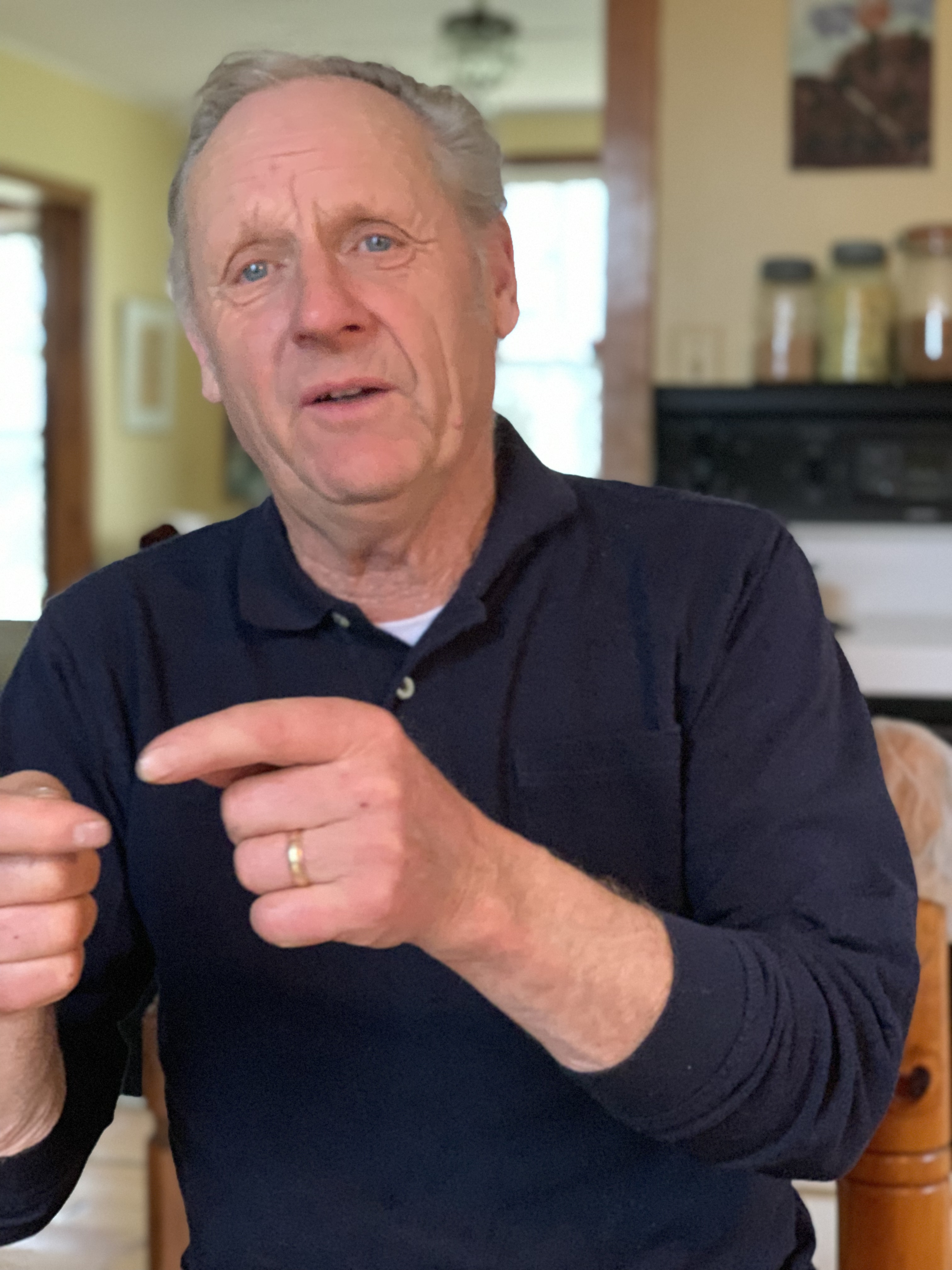
The next day it would pour, but I’d interview a bread-baking, hilarious farmer who has lived on Manitoulin his whole life. The day after that a 9 a.m. phone interview of a retired conservation officer and then later met with a retired Ontario Ministry of Natural Resources field staff whose work included moving Canadian moose to Michigan via helicopters and crates on flat-bed trucks. I’ll fill you in when I have solid connection again. Right now I am on shores of Lake Superior near Batchwana Bay and without Wi-Fi.


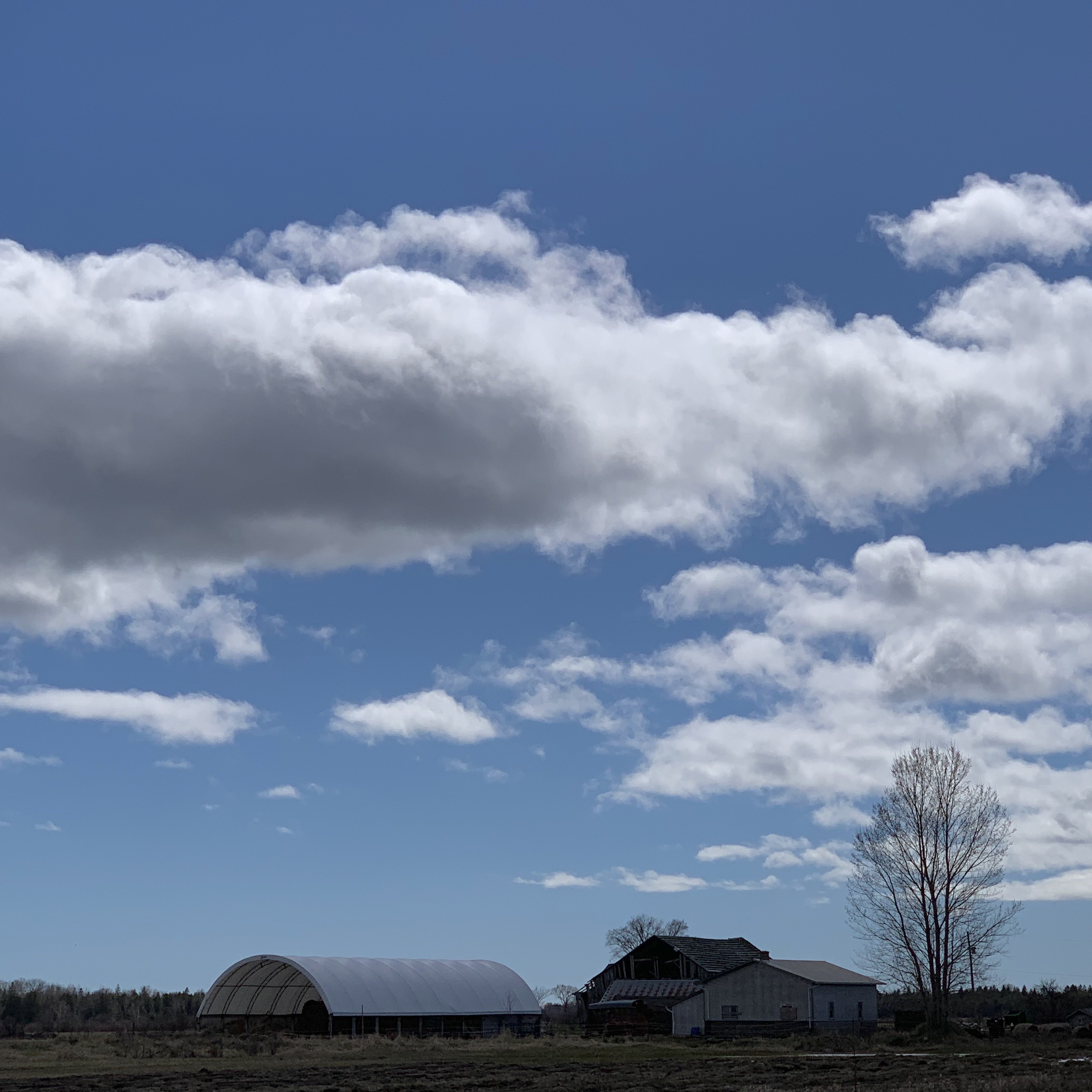
 I’m always fascinated and love to photograph abandoned buildings weathering in place. I wonder about their history, who built them, who lived there, who left and why.
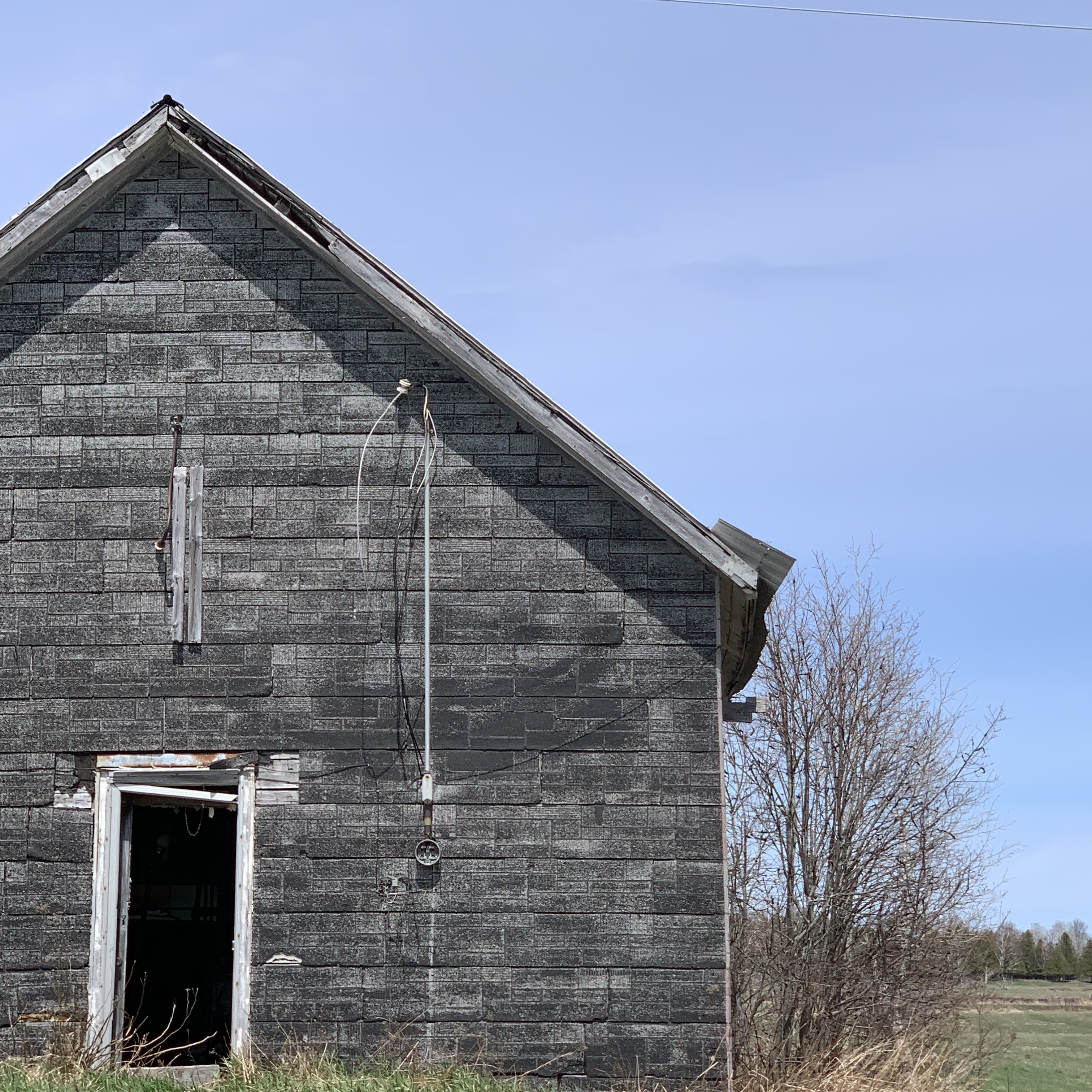
 I keep thinking of Misery Bay and want to learn and share more.
  I’ll leave you with the beauty of the days while I was there enjoying the landscapes and people of Manitoulin Island.